FAO
International Organization
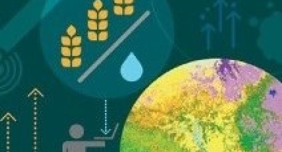
The WaPOR project aims to assist partner countries in developing their capacity to monitor and improve water and land productivity in agriculture, both rainfed and irrigated, responding therefore to the challenges that are posed by the dwindling of freshwater resources and the need to sustain agricultural production to ensure food security in the face of a changing climate. A spatial database that is publicly accessible, developed with data derived from open-access remote-sensing data and open source algorithms. It provides near real time information with a temporal coverage from 2009 to the present at 3 geographical resolutions: level 1 is the continental scale (250 m ground resolution), level 2 is the national or basin scale (100 m) and level 3 is the sub-national scale (30 m). It monitors and reports on agriculture water productivity over Africa and the Near East. Project activities bring capacity development to the 10 partner countries so as to meaningfully contribute to the improvement of agricultural productivity and food security as well as to the amelioration of the use of natural agricultural resources.
In progress
Virginie GILLET
virginie.gillet@fao.org